By Dr. Malik Sherjeel Awan, PsyD · Last checked 21 November 2026
Published by Dr. Malik Sherjeel Awan, Makkah
Most people in Madinah describe where they live by one measure: how far it is from the Prophet’s Mosque. That matters, but so do the school run, the clinic, the car park and how your street feels in Ramadan. This page puts eight well-known areas side by side, using the facts in our individual guides, so you can shortlist before you visit.
What’s here: approximate distance to Masjid an-Nabawi where our guides measured it, the day-to-day feel, getting around, the busy-season effect and who each area tends to suit.
What isn’t: rents. No official source publishes rents by district, so we don’t guess. See how to check rent in Madinah.
The comparison table
| Area | Approx. distance to the Prophet’s Mosque | Day-to-day feel | Getting around | Busy seasons | Often suits |
|---|---|---|---|---|---|
| Central / Al-Haram area | Walking distance | Dense, hotel-heavy, busy all year | Walking; paid parking around the mosque | Crowds and road changes at your door | Those who put walking to every prayer first |
| Quba | ~3 km (south) | Quieter streets, palm groves, Quba Mosque | Car; check the Madinah Bus map; a pedestrian route links Quba to the centre | Traffic near Quba Mosque at peak visiting times | Families wanting calm near a historic mosque |
| Sayyid al-Shuhada (Uhud) | ~4 km (north) | Historic, at the foot of Mount Uhud | Car; check the Madinah Bus map | Steady visitor traffic near Uhud | Residents who like a heritage setting |
| Al-Uyun | Not measured (north) | Older sub-areas, packed shops, narrow lanes | Al-Uyun Road links to the Second Ring Road | Felt mostly on routes into the centre | People who want everyday shops close by |
| Al-Awali (Al-Aliyah) | Not measured (east and south-east) | Historic name; former orchards, now built up | Car | Felt mostly on the roads | Families wanting an established area |
| Al-Aziziyah | Not measured (outside the centre) | Modern district with schools, clinics, supermarkets | Car | Felt mostly on the roads | Families who want services nearby |
| Shuran | ~8 km (south) | Residential; Shuran Paths walkways, green space, play areas | Mostly car; check bus routes | Felt mostly on the roads | Families who want outdoor space |
| King Fahd District | ~9.6 km (north-east); ~6 km from the airport | Quieter streets, more space | Car needed | Felt mostly on the roads | Drivers, frequent travellers, families wanting space |
Distances are approximate straight-line figures from our district guides (OpenStreetMap) and Visit Saudi. “Not measured” means our guides don’t give a figure yet. Your own street may differ.
How to read the table
Distance vs travel time
A district 4 km away in a straight line can take much longer by road, especially near prayer times, on Fridays and in the busy seasons. Ring roads such as King Khalid Road (the Third Ring Road) help, but the last stretch into the central area is usually the slowest. Test your real commute before you sign.
The basic trade-off
- Central: prayer on foot, but crowds, limited parking and a market shaped by hotels.
- Historic inner areas (Quba, Sayyid al-Shuhada, Al-Awali): a short drive, heritage close by, and visitor traffic around the famous sites.
- Outer districts (Shuran, King Fahd District and similar): more space and calmer streets, but daily life depends on a car.
Busy seasons
Madinah’s busiest periods are Ramadan and the months around Hajj, with pilgrims arriving before and after the rites. Central streets feel it most. Outer districts mostly feel it on the roads in. If you’ll be commuting through April to June 2027, factor that in.
Matching an area to your priorities
| If you most want… | Start with… |
|---|---|
| Walking to every prayer | Central / Al-Haram area |
| A calm street near a historic mosque | Quba |
| Heritage surroundings | Sayyid al-Shuhada, Al-Awali |
| Shops on your doorstep | Al-Uyun, Al-Aziziyah |
| Parks and space for children | Shuran |
| Airport access and quieter roads | King Fahd District |
This is a starting point, not a ranking. Streets within one area can feel very different.
Before you sign anywhere
- Visit at three times: a school-run morning, after Maghrib and a Friday.
- Map your fixed points: work, school, the Prophet’s Mosque and family.
- Find services: the nearest primary healthcare centre, emergency department, pharmacy and supermarket.
- Check the bus: look up nearby stops on the official Madinah Bus map.
- Confirm the district on your National Address, because names and boundaries vary between maps and adverts.
- Register the lease on Ejar before paying large sums. See our Ejar housing checklist.
FAQ
What is the best area to live in Madinah?
There’s no single answer. If walking to the Prophet’s Mosque matters most, look centrally. For calm and space, families often look at Quba, Shuran or King Fahd District. Use the priorities table above.
Which areas are cheapest?
We don’t publish rents because no official source gives them by district. See our guide to checking rent in Madinah.
Is living near the Haram good for families?
It can be, especially for prayer, but crowds and parking make it harder for some families. See living near Masjid an-Nabawi with family.
Why isn’t my district here?
We add districts as their full guides are published. Check the neighbourhoods guide.
Related reading
- Madinah neighbourhoods guide
- Best neighbourhoods in Madinah for families
- Living in Makkah vs Madinah vs Jeddah (livinginmakkah.com)
General information only. We don’t recommend any property, landlord or agent. Check official sources and visit before you decide.
Sources
- livinginmadina.com neighbourhood guides (Madinah neighbourhoods guide; Quba; Shuran; King Fahd District; living near Masjid an-Nabawi), each citing its own sources
- Visit Saudi, Quba Mosque about 3 km from the Prophet’s Mosque: https://www.visitsaudi.com/en/madinah/attractions/masjid-quba-in-madinah
- Visit Saudi, Mount Uhud about 4 km north of the Prophet’s Mosque: https://www.visitsaudi.com/en/madinah/attractions/uhud-mountain-in-madinah
- OpenStreetMap (district distances as measured in our guides): https://www.openstreetmap.org/
- Ministry of Hajj and Umrah, Prophet’s Mosque Services Guide (parking around the mosque): https://haj.gov.sa/-/media/Project/HAJJ/PDF-and-FILES/Awareness-Guides/Masjid-Nabawi-Services-Guide/English/EN-masjid-nabawi-services-Guide.pdf
- REGA, residential leases on Ejar: https://rega.gov.sa/en/rega-services/eservices/register-the-residential-lease-contract/
- Ministry of Hajj and Umrah, Madinah Landmarks Guide (Quba Mosque about 3 km south; Mount Uhud about 4 km north of the Prophet’s Mosque): https://haj.gov.sa/-/media/Project/HAJJ/PDF-and-FILES/Awareness-Guides/Madinah-Guide/English/EN-madinah-guide.pdf
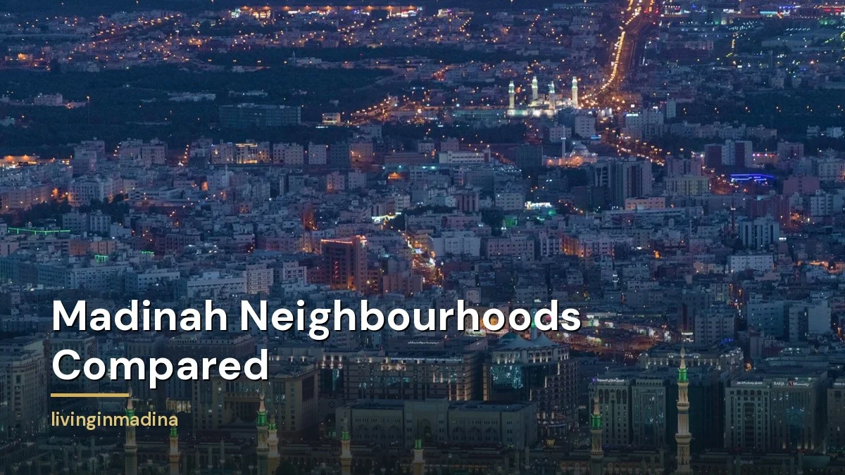
Featured photo: Madinah at night by Hussain Awan, via Pexels.